Petra Schwarz · 4 November 2026
Isotope Analysis Identifies Agricultural Sources of Nutrients in Deltabay
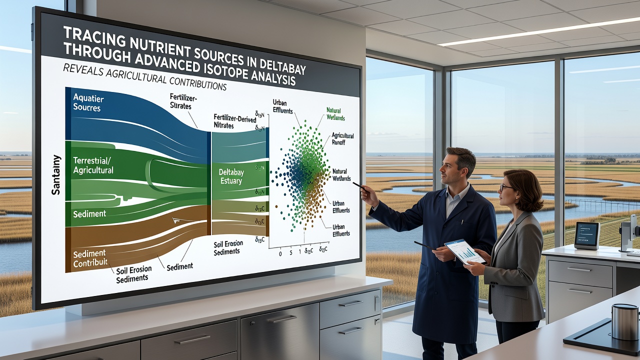
Researchers have turned to stable isotope analysis to trace the origins of excess nutrients flowing into Deltabay, and the results point strongly toward agricultural activities as a primary contributor. Nitrogen and oxygen isotopes in nitrate compounds carry distinct signatures that differentiate between fertilizer applications, animal waste, and urban runoff, allowing scientists to map pathways through soil, groundwater, and surface water with increasing precision.
Teams from multiple institutions collected samples across the estuary during 2025 and into November 2026, measuring ratios of nitrogen-15 to nitrogen-14 along with oxygen-18 signatures. These ratios revealed that a substantial portion of the nitrate load matched the isotopic profile typical of synthetic fertilizers applied on surrounding farmlands, rather than septic systems or atmospheric deposition.
How Isotope Signatures Separate Nutrient Sources
Each source leaves a fingerprint because biological processes and manufacturing methods alter isotope ratios differently. Fertilizers produced through the Haber-Bosch process tend to show lower nitrogen-15 enrichment, while manure and sewage exhibit higher values due to ammonia volatilization and denitrification. In Deltabay, water samples taken near agricultural drainage outlets consistently displayed the lower enrichment pattern, and the signal strengthened during spring application periods when rainfall transported dissolved nitrates into tributaries.
Groundwater wells positioned between fields and the estuary further confirmed the connection, showing the same isotopic composition as surface waters downstream. Researchers noted that denitrification within riparian buffers altered some signals, yet the overall agricultural imprint remained detectable after statistical correction for fractionation effects.
Seasonal Patterns and Load Estimates
Data gathered through automated sensors and manual sampling campaigns showed peak nitrate concentrations coinciding with irrigation return flows and storm events. During November 2026 monitoring rounds, concentrations at several tributary mouths exceeded 5 milligrams per liter, with isotope mixing models attributing roughly 65 percent of that load to cropland sources. These figures align with broader regional assessments conducted by agencies tracking nonpoint pollution across similar estuarine systems.
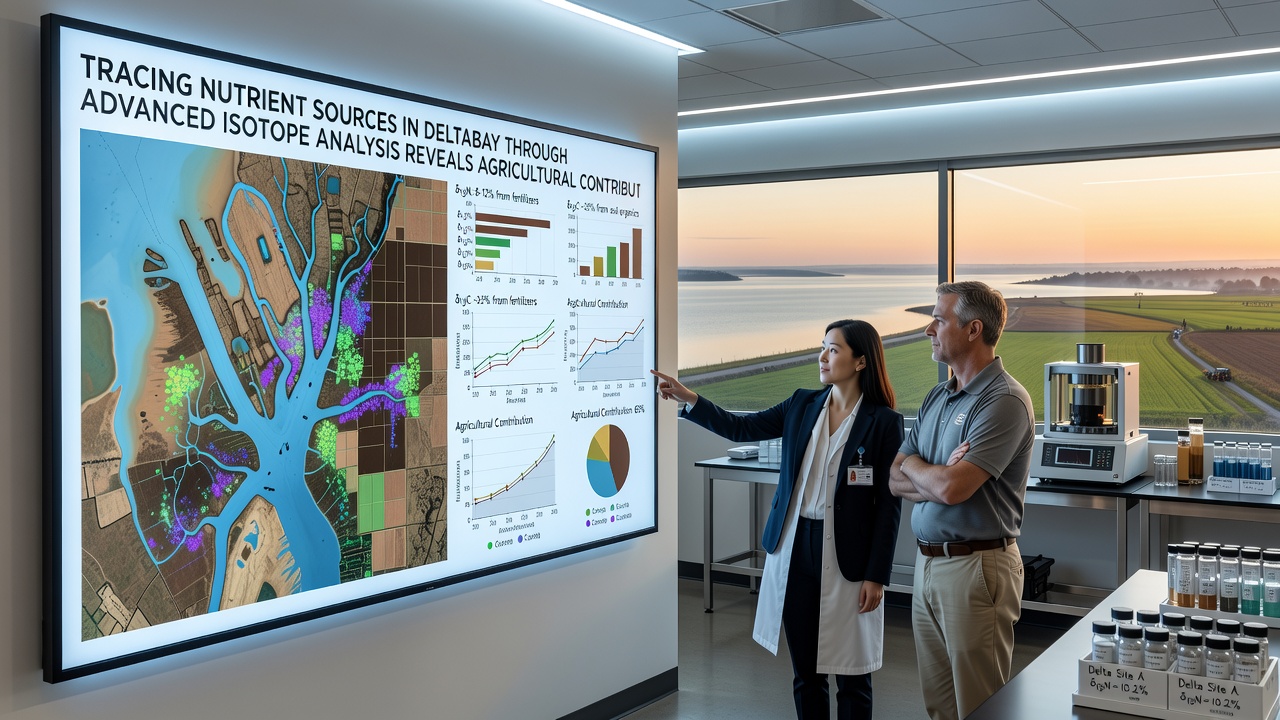
One study published in collaboration with the U.S. Geological Survey integrated isotope results with hydrological modeling to estimate annual nutrient exports. The model indicated that agricultural fields contributed the majority of bioavailable nitrogen reaching the bay's shellfish beds and submerged aquatic vegetation zones. Reductions in fertilizer application rates or improved timing of applications correlated with measurable drops in downstream isotope signals during subsequent seasons.
Supporting Evidence from Multiple Lines of Inquiry
Complementary data from sediment cores extracted from Deltabay mudflats showed increasing nitrogen-15 depletion in layers deposited after the expansion of row-crop agriculture in the watershed. Pollen records and land-use maps corroborated the timeline, linking the isotopic shift to periods of intensified fertilizer use rather than changes in urban development alone. Benthic organism tissues collected in the same locations carried matching isotope ratios, demonstrating direct uptake of agriculturally derived nitrogen into the food web.
Parallel work by the European Environment Agency in comparable delta systems has validated the same methodological approach, reinforcing that isotope mixing models can reliably apportion sources when sufficient end-member samples are available. Deltabay researchers applied those validated protocols, adjusting for local soil types and tidal mixing dynamics that influence fractionation rates.
Management Implications and Ongoing Monitoring
With agricultural contributions now quantified through isotope evidence, resource managers have begun prioritizing targeted interventions such as cover cropping, precision fertilizer placement, and constructed wetlands at field edges. Follow-up sampling scheduled for late 2026 aims to track whether these practices produce detectable shifts in estuary-wide isotope ratios within two to three years. Early indicators from pilot sites suggest that even modest changes in application efficiency can reduce the agricultural nitrogen fraction reaching tidal waters.
Conclusion
Advanced isotope analysis has clarified the dominant role of agricultural activities in supplying excess nutrients to Deltabay, providing a factual basis for source-specific management strategies. Continued sampling and modeling will refine these apportionments as land-use practices evolve and climate-driven hydrology alters transport pathways. The approach demonstrates how geochemical tools can guide evidence-based decisions without relying on indirect estimates alone.