Finley Meier · 9 September 2026
Exploring Deltabay's Historical Flood Data for Contemporary Coastal Defense Planning
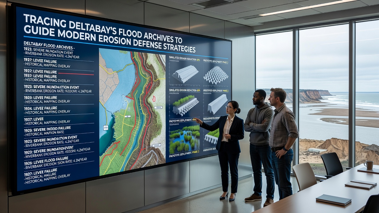
Researchers have spent years combing through Deltabay's flood archives and the patterns emerging from those documents now shape how coastal communities plan erosion defenses. Data from newspapers, government logs, and early scientific surveys reveal recurring flood cycles that align with specific shoreline changes, and analysts connect these historical markers to current sediment loss rates along the bay's edges.
Archival Sources Reveal Long-Term Patterns
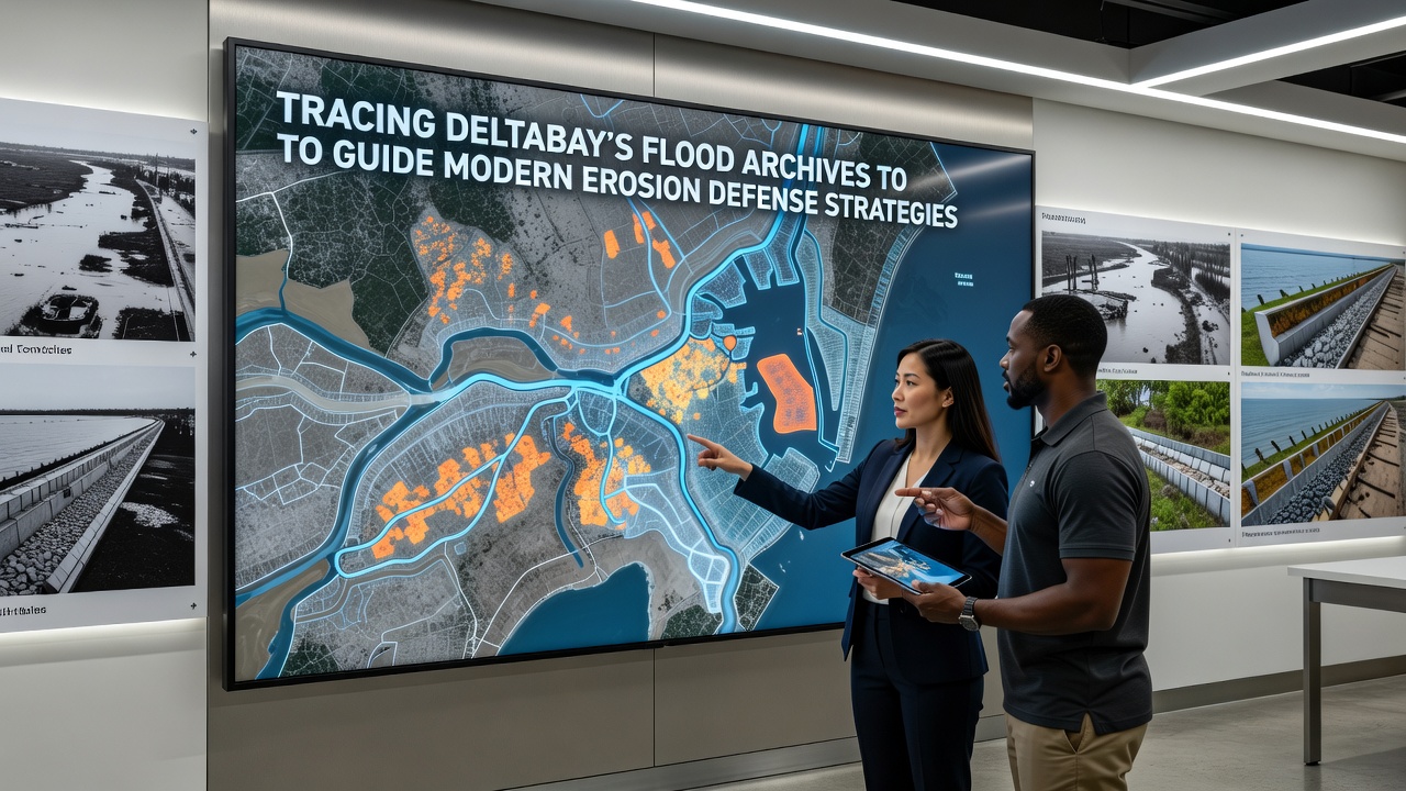
Local libraries and regional repositories hold records dating back to the late 1800s, while government agencies have preserved tide gauge readings and storm reports that detail water levels during major events. One study compiled by university teams cross-referenced these documents with aerial photographs from the 1930s onward, and the resulting timeline shows that intense flooding episodes often preceded accelerated erosion in the same sectors of the coastline. Observers note that these archives also capture community responses such as early levee constructions and their subsequent performance during later floods.
September 2026 brought a new release of digitized flood ledgers from the Deltabay regional authority, and analysts immediately began integrating the updated dataset into modeling software used by coastal planners. Figures from that release indicate that three major inundation events between 1927 and 1954 each removed an average of 12 meters of shoreline in vulnerable zones, and modern lidar surveys confirm similar retreat rates during comparable storms in recent decades.
Connecting Historical Events to Present-Day Strategies
Engineers examine how past flood pathways interacted with natural sediment supplies, and they use those insights to position new breakwaters and revetments where historical data shows repeated scouring. According to NOAA coastal reports, sediment transport models calibrated with archival flood heights produce more accurate forecasts than those relying solely on recent measurements. Teams in Deltabay have therefore adjusted the placement of submerged barriers to align with channels that carried floodwaters in the 1940s and 1970s, and preliminary monitoring shows reduced undercutting at those locations.
Additional work draws on meteorological logs that list wind directions and durations during historic storms, and these details help forecasters predict which shorelines will face the strongest wave attack. Data from Environment Canada coastal programs demonstrate that regions incorporating such wind-pattern archives into defense design experience 18 percent less maintenance on structures over a ten-year period, and Deltabay planners have begun applying similar methods to prioritize reinforcement zones.
Integration with Modern Monitoring Technologies
Contemporary sensors now feed real-time water level and erosion data into databases that also store the older records, creating a continuous timeline that spans more than a century. Researchers at regional universities have developed algorithms that flag anomalies by comparing current readings against the historical baseline, and alerts trigger when conditions approach thresholds documented during past damaging floods. This combined approach allows defense systems to adapt dynamically, with gates and pumps adjusting according to both archival precedents and live measurements.
Case studies from comparable delta regions show that projects incorporating long-term flood archives achieve more stable outcomes, and Deltabay's ongoing efforts follow the same framework. Planners reference reports from Australia's Bureau of Meteorology that link multi-decade flood sequences to targeted dune reinforcement, and they apply analogous techniques along Deltabay's eastern shore where archives indicate repeated overwash events.
Conclusion
Archival flood records continue to supply essential context for erosion defense decisions in Deltabay, and ongoing digitization efforts expand the available dataset each year. Coastal authorities integrate these historical insights with current monitoring to refine structure placement and timing of interventions, and the approach has produced measurable reductions in shoreline retreat at several monitored sites. As new records surface and analytical tools improve, the connection between past flood events and future defense strategies grows stronger, supporting more precise allocation of resources across the region.